1.9 Shapefiles
OpendTect Pro supports import - and viewing of Esri shapefiles, the popular geospatial vector data format for geographic information system (GIS) software.
Shapefiles are used in the interpretation phase and in the generation of final maps. In the interpretation phase shapefiles can play an important role in validating seismic features.
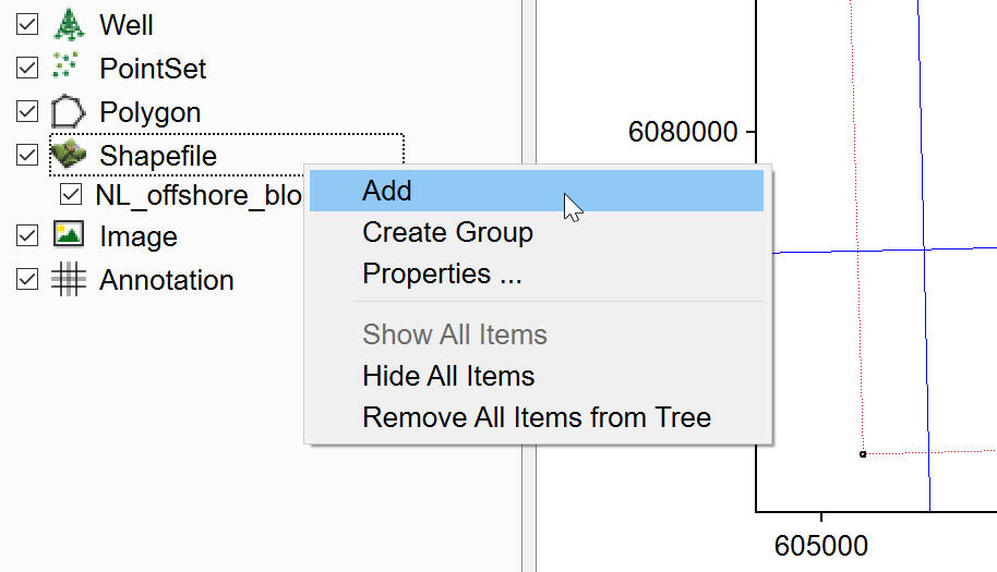
They can be added to the Basemap or the 3D scene by right-clicking on the Shapefile element in the scene tree: